Yellowstone Falls
!
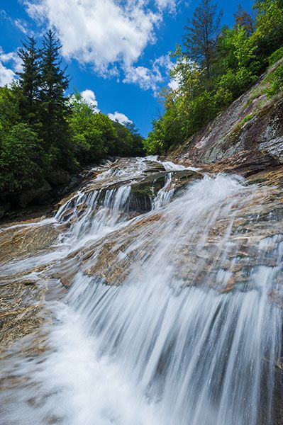
Three waterfalls—Upper Falls, Second Falls, Yellowstone Falls—are on Yellowstone Prong in the extremely popular Graveyard Fields area. Yellowstone Falls is the lower waterfall, about a third of a mile downstream from Second Falls.
While Second Falls is covered with people on any given day, Yellowstone Falls sees very few visitors and that’s a good thing. The hike is tough and the potential for getting into trouble is high at this waterfall.
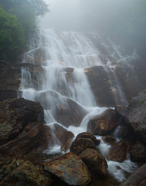
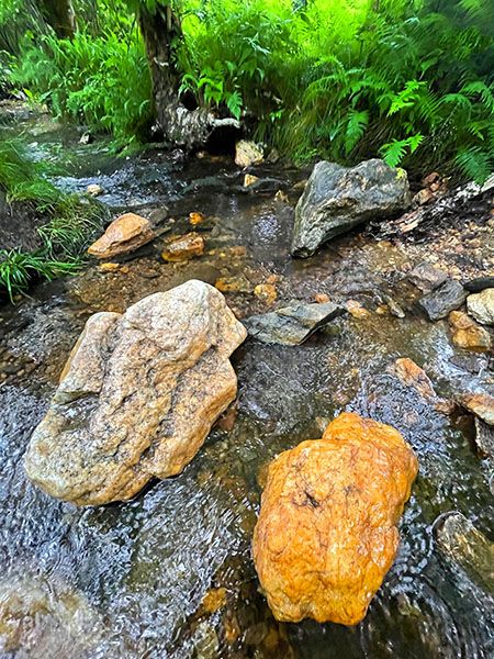
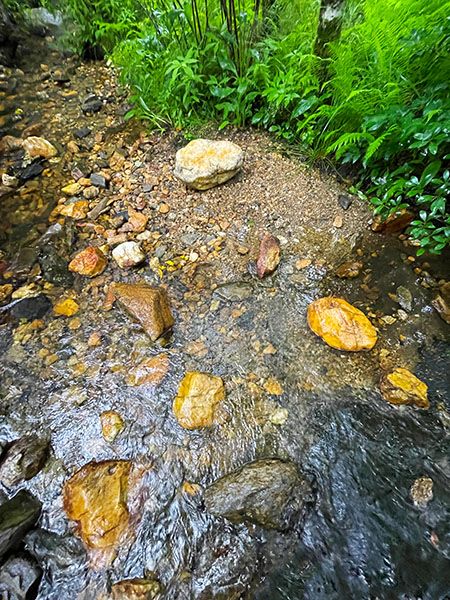
Two distinct drops make up Yellowstone Falls, separated by a pool carved out of solid rock. The rock is heavily striated and adds a distinctive element in photos. The problem for photographers, though, is that it can be dangerous getting into a good position to shoot.
Downstream from the main lower section of the falls is a long series of steep cascades that I consider to be a proper part of the waterfall. Taking everything into account, Yellowstone Falls is a very scenic, high, impressive waterfall. If it were possible to see the entire waterfall from a singe vantage point, I’m sure I’d give it a higher beauty rating.
You can see the lower portion of Yellowstone Falls from the Blue Ridge Parkway at Milepost 418.1, about 0.7 mile north of Graveyard Fields Overlook. The view is fair in winter and early spring before the leaves come out.
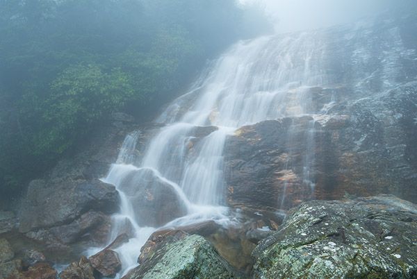
Foggy view from the base of Yellowstone Falls. (052B-101548)
Driving Directions
Open driving directions in map appThe three waterfalls in Graveyard Fields—Yellowstone Falls, Second Falls, Upper Falls— are accessed from Graveyard Fields Overlook on Blue Ridge Parkway, Milepost 418.9. The overlook is roughly halfway between US 276 and NC 215.
This is an extremely popular area. Get here early on any weekend and any weekday during summer and fall.
For the shuttle hike described in the Hiking Directions, you’ll need to leave a car at Looking Glass Rock Overlook on the Parkway, Milepost 417.
Hiking Directions
The first part is the same as the Second Falls and Upper Falls hike.
Quick Glance
There’s no way to make this quick.
Detailed Look
The hike begins beside the restroom building. Take the steps down to the paved path. The path leads through a tunnel of Catawba rhododendron and mountain laurel before reaching the steps that descend to Yellowstone Prong at 0.16 miles. As you cross the creek on the footbridge, look downstream to see the brink of Second Falls.
Just beyond the creek, the trail to Upper Falls goes to the left. Continue straight on the boardwalk. From the end of the boardwalk, continue on the trail for 30 yards to a fork. The right fork leads to Second Falls. Take the left fork and hike about 0.19 miles to another fork at the junction with Mountains-to-Sea Trail (MST). (There are several little side paths along the way. Stay on the obvious main trail.)
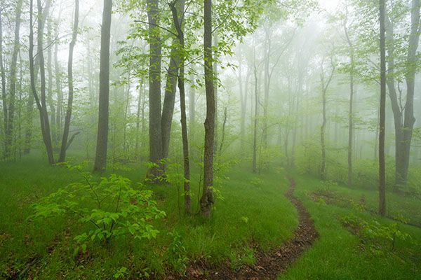
Turn right at the fork and follow MST through scenic, open woods with a ground cover of grasses and ferns. At just under a quarter mile from the fork, you’ll reach a flat, open area from which you can hear Yellowstone Falls to the right. GPS for this point is 35.324511, -82.841538.
A side path here leads from MST to the creek, passing by a nice campsite. The path comes out at the top of the falls. The moderate hike rating ends here, and the difficult rating begins.
Cross the creek, which should be a relatively safe and easy rockhop in normal flows. Once across, you’ll find a scramble path that descends through the rhodos alongside the falls. A couple of spots provide access to good views of the upper section.
The path becomes very steep as it nears the lower section of the falls. Once you reach the creek, you’ll need to cross to the river-left side and scramble over the boulders for an open frontal view.
The Shuttle Route
From the campsite area in the clearing, MST swings around an unnamed summit of Graveyard Ridge and returns to Yellowstone Prong at Skinny Dip Falls. If you leave a car at one end, the hike to Second Falls, Yellowstone Falls, and Skinny Dip Falls makes an excellent waterfall outing.
| Accessibility: | Hiking trail |
| County: | Haywood |
| River Basin: | French Broad |
| Watercourse: | Yellowstone Prong of East Fork Pigeon River |
| Watershed: | Small |
| Type and Height: | Very steep sliding and freefalling falls over 100 feet high. Height estimated. |
| Landowner: | Pisgah NF, Pisgah RD |
| Beauty Rating: | 7 |
| Elevation: | 4840 feet |
| USGS Map: | Shining Rock |
| Hike Difficulty: | Moderate/difficult |
| Hike Distance: | Approx, 0.8 miles |
| Waterfall GPS: | 35.323832, -82.840773 |
| Trailhead GPS: | 35.320426, -83.846946 |
Photo Gallery
Click a photo to enlarge.