Waterfall 1 on Fletcher Creek
!
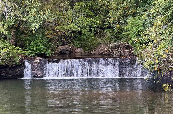
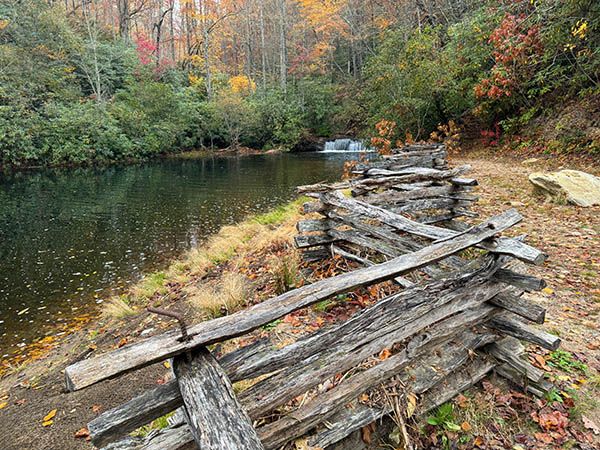
Here’s an interesting little waterfall. It’s one of a couple dozen or so North Carolina waterfalls that fall directly into a lake. As well as I can determine, about half of the waterfall is now inundated.
The hike to the waterfall passes right by Waterfall on Long Branch. The lake the waterfall drops into is dammed by Hendersonville Reservoir Dam. Access to Bee Branch Falls and Upper Bee Branch Falls is by Big Branch Trail, upstream from the lake.
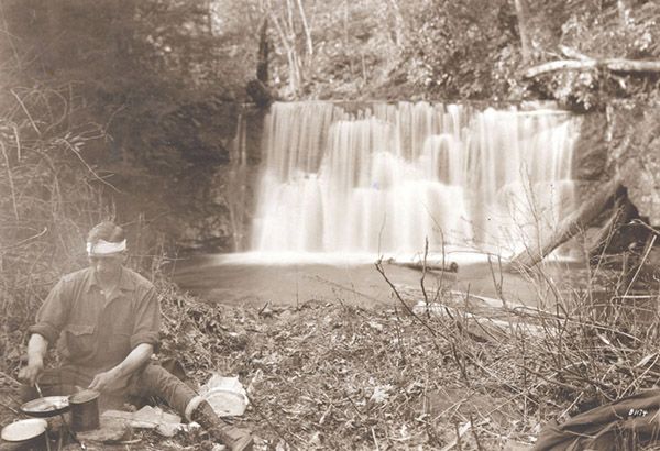
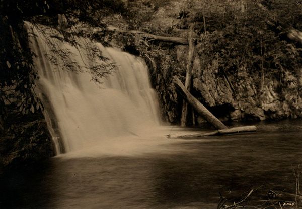
I found a couple of historical waterfall photos at Pack Library in Asheville that are captioned as Big Creek Falls in the Balsams. After much investigation, including time spent crawling all over this waterfall, I’m pretty well convinced that this is the falls in the photos.
The fact that the captions stated Big Creek Falls but this waterfall is on Fletcher Creek didn’t sway me from investigating. Fletcher Creek and Big Creek join a few hundred feet downstream from the waterfall and it’s common to find misinformation on photo captions.
I’m not saying with 100 percent certainty that this is the waterfall, but I’m confident enough to include the photos here. I’d shoot a Then & Now of the falls, but if I tried to capture a true rephotograph, I’m afraid I’d drown.
(065Z38-266998)
Driving Directions
Open driving directions in map appFrom NC 280 in Mills River, turn on North Mills River Road and drive 4.9 miles to FS 5000 (Wash Creek Road) on the right, at North Mills River Recreation Area. Follow FS 5000 for 2.0 miles (becomes unpaved at 0.3 miles) and take the left fork onto FS 142. Drive 0.5 miles to Trace Ridge Trailhead at the end of the road.
Hiking Directions
Quick Glance
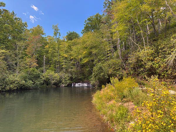
Follow FS 142 beyond the gate to Hendersonville Reservoir. Look to the right to see the waterfall.
Detailed Look
Two gated forest roads, close together, begin from the trailhead. FS 5097 is on the right and the continuation of FS 142 is to the left. FS 142 takes you to Hendersonville Reservoir. (Along the way you’ll pass by Waterfall on Long Branch.) Look over to the right to see the waterfall dropping into the lake. You can follow the trail a short distance to the top of the falls.
| Accessibility: | Forest road |
| County: | Henderson |
| River Basin: | French Broad |
| Watercourse: | Fletcher Creek |
| Watershed: | Small/medium |
| Type and Height: | Nearly vertical 4-foot-high drop Height measured with rangefinder. |
| Landowner: | Pisgah NF, Pisgah RD |
| Beauty Rating: | 3 |
| Elevation: | 2460 feet |
| USGS Map: | Dunsmore Mountain |
| Hike Difficulty: | Moderate |
| Hike Distance: | A little over 1.6 miles |
| Waterfall GPS: | 35.41988, -82.67615 Coordinates obtained from CalTopo app. |
| Trailhead GPS: | 35.42028, -82.65683 |
Photo Gallery
Click a photo to enlarge.
Historical Gallery
Click a photo to enlarge.